Finding the Balance: Safeguarding Wildlife Through Dark Sky Conservation
Predicting light emissions in various environments is critical for effectively understanding and mitigating the impacts of artificial light on wildlife. We utilise an adapted version of the open-source ILLUMINA model to simulate your project’s artificial light emissions as viewed from sensitive habitat, incorporating factors such as topography, light types, and atmospheric conditions. In conjunction with baseline monitoring data, model outputs can support your project’s environmental impact assessment by quantifying its cumulative contribution to the existing lighting environment.
Light Modelling
Model Outputs and Applications
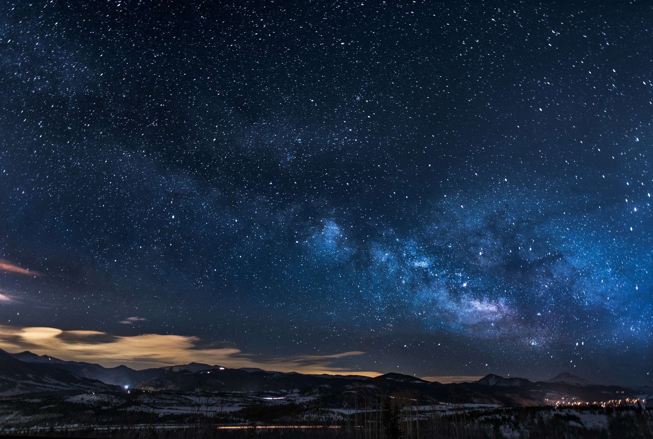
Panoramic View
Simulates how artificial light is perceived at sensitive receptor habitat across a hemispherical 360° x 90° field of view.

-
Provides insights into the visual impact of light on nocturnal species (e.g., bats, birds, and turtles) from specific locations. This helps assess whether light sources may disorient or disrupt species behaviour and can guide design changes to reduce light pollution.
Contour Maps
Visualises how light intensity decreases with distance from the source, generating brightness contours over a large area.

-
Identifies regions that exceed lighting thresholds and helps planners design buffer zones to protect sensitive areas, such as nesting sites or nocturnal corridors.
Scenario-Based Simulations
Visualises how light intensity decreases with distance from the source, generating brightness contours over a large area.

-
Allows the comparison of your visible lighting under different design options. This enables the selection of the lighting design approach with the lowest ecological impact.
Cumulative Panorama
Incorporates baseline or snapshot artificial light monitoring data to provide a cumulative view of project-related light sources, in the context of other existing light sources.
-
Approval conditions increasingly require assessment of cumulative light emissions that account for existing light sources in the region. We can integrate baseline or snapshot artificial light data, captured with our All Sky Cameras from sensitive habitat, into the model outputs to provide a quantitative assessment of cumulative lighting.